A mix of clouds and sun. A stray shower or thunderstorm is possible. High 79F. Winds SSW at 5 to 10 mph..
Tonight
Partly cloudy this evening followed by increasing clouds with showers developing after midnight. Low near 65F. Winds light and variable. Chance of rain 40%.
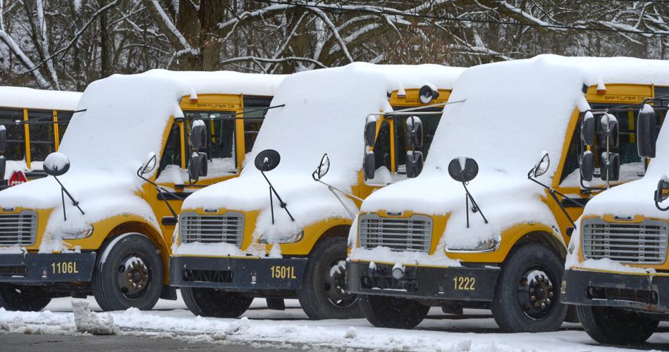
Traffic crawls along MacCorkle Avenue at the Charleston/South Charleston line, just west of the Patrick Street Bridge (not pictured), on Wednesday, Feb. 19, 2025. Snowy conditions and slippery roadways made for slow travel in the Charleston region Wednesday.
Traffic crawls along MacCorkle Avenue at the Charleston/South Charleston line, just west of the Patrick Street Bridge (not pictured), on Wednesday, Feb. 19, 2025. Snowy conditions and slippery roadways made for slow travel in the Charleston region Wednesday.
CHRISTOPHER MILLETTE | Gazette-Mail
With snow on the ground in Charleston Wednesday morning and more expected, travel is slow going through the Kanawha Valley.
The forecast
A winter weather advisory is in effect through 1 p.m. Thursday for Cabell, Putnam, Kanawha, Clay and parts of Nicholas and Fayette counties.
The Charleston area could see between 3-5 inches of snow by the time this latest storm finishes Thursday.
Snow began falling Wednesday morning with 1-3 inches of accumulation possible during the day. Look for a high of 27 and a low of 15, according to the NWS.
Plan on slippery road conditions. The hazardous conditions could impact the Wednesday evening commute, as well as the Thursday morning commute.